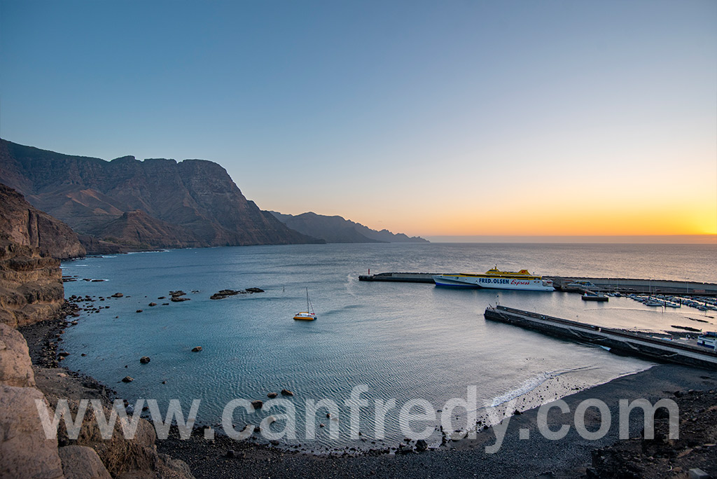
Agaete
for lovers of relaxation, trekking and nature
Agaete
Agaete is a municipaly of Gran Canaria Island.
Geography
It is in the north-west of Gran Canaria island, and is enclosed by the Atlantic Ocean to the west, Gáldar to the north-east, and Artenanara to the south. Agaete’s area is 45.50 km2 (17.57 sq mi) with a population of 5,796.
Tourism
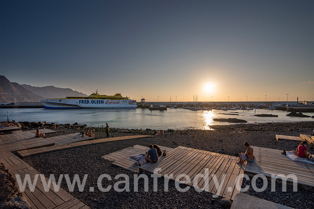
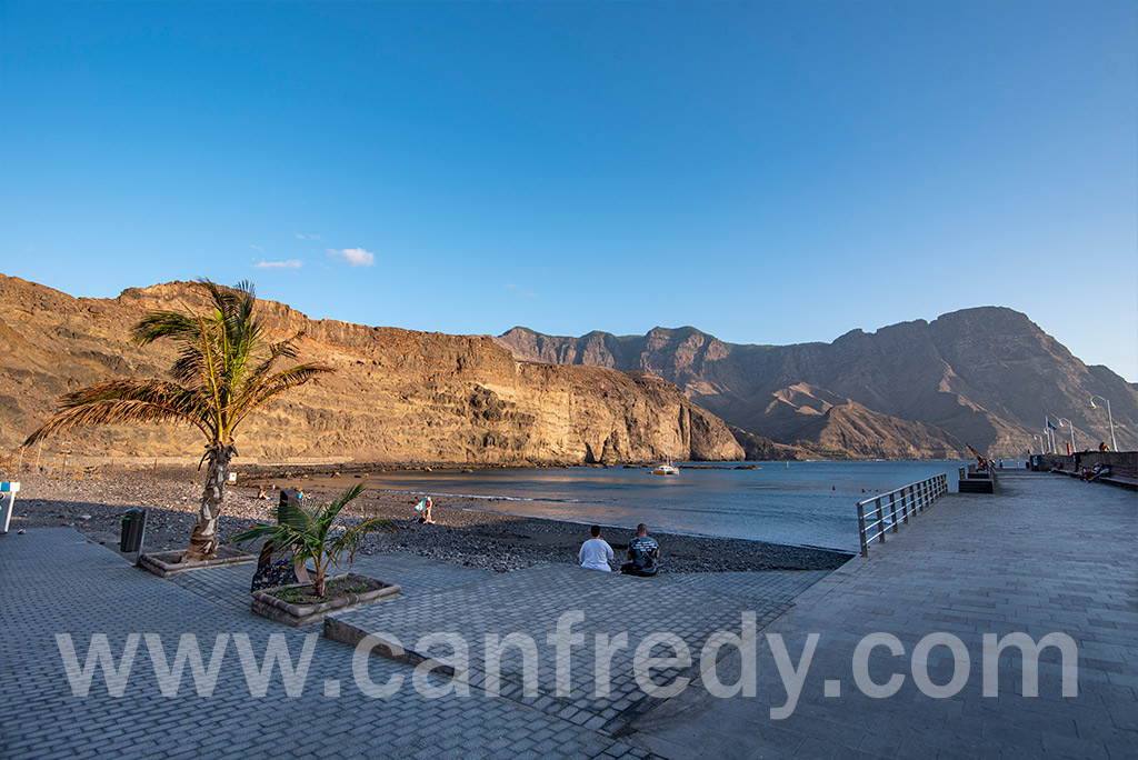
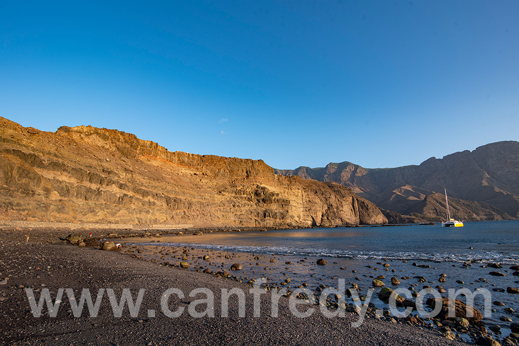
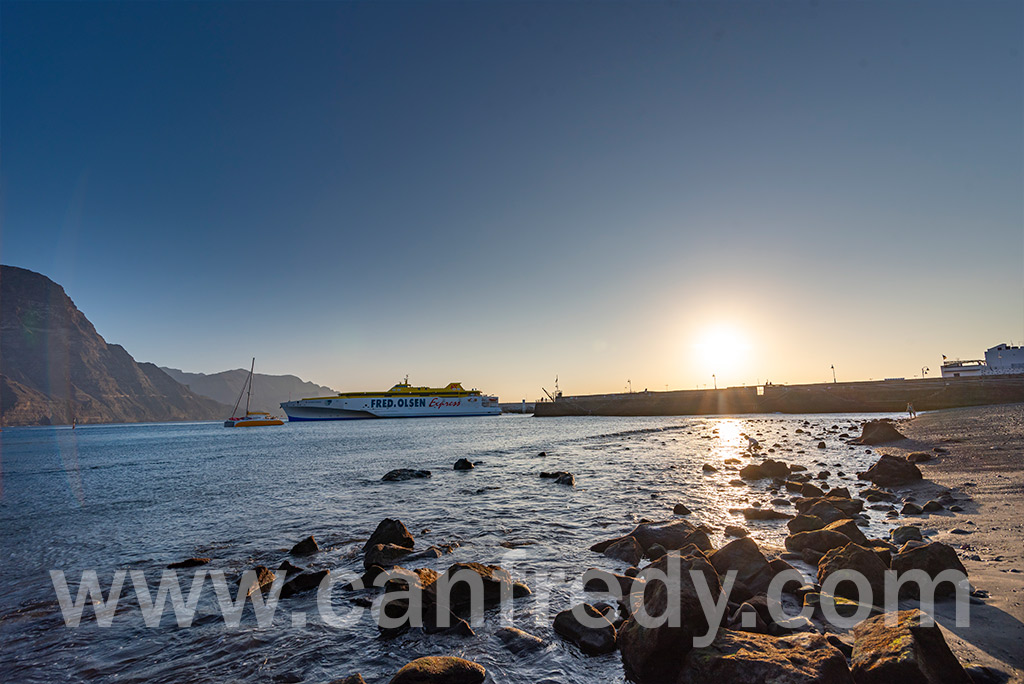
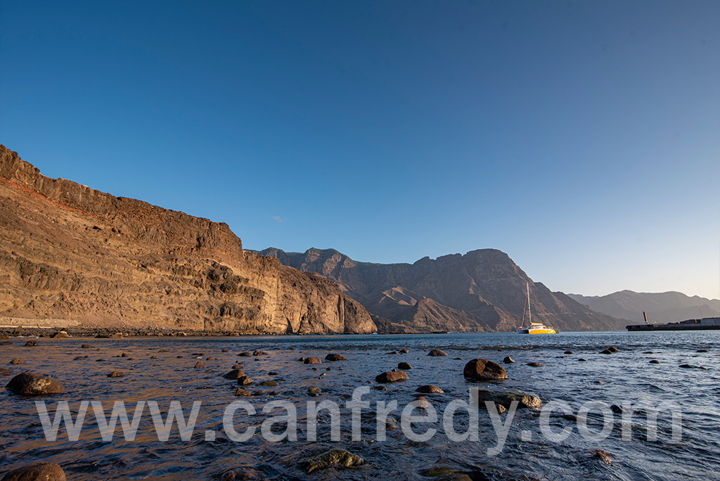
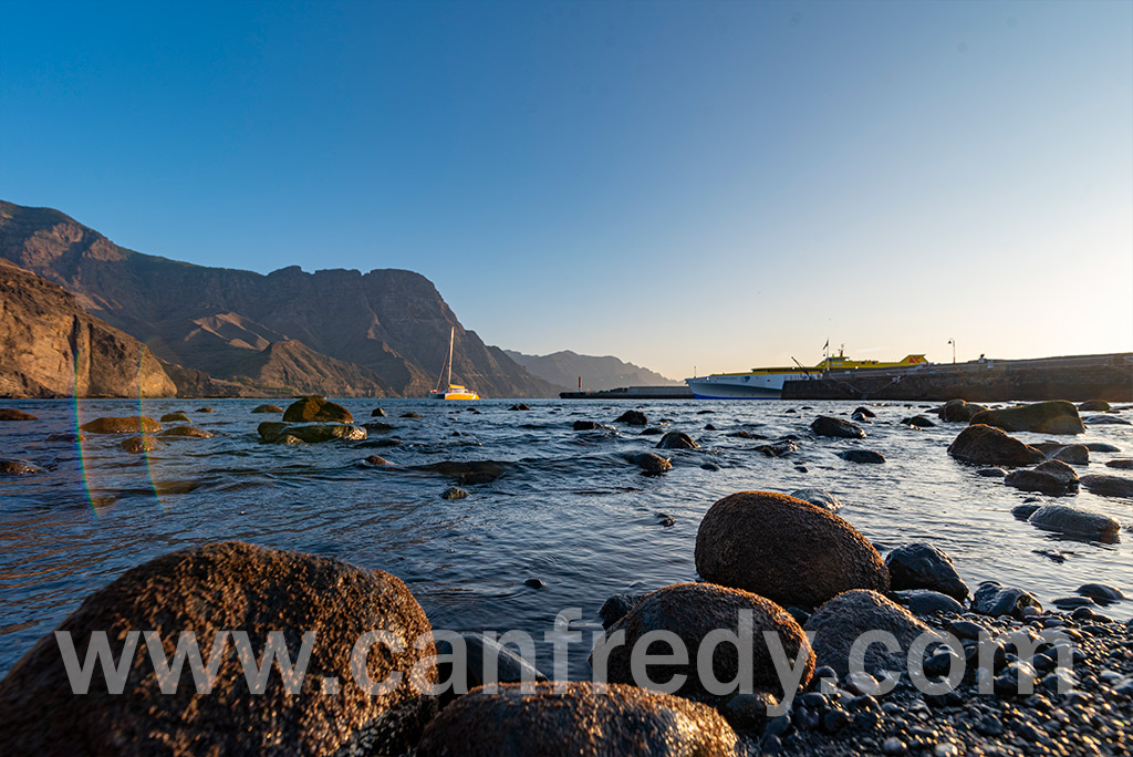
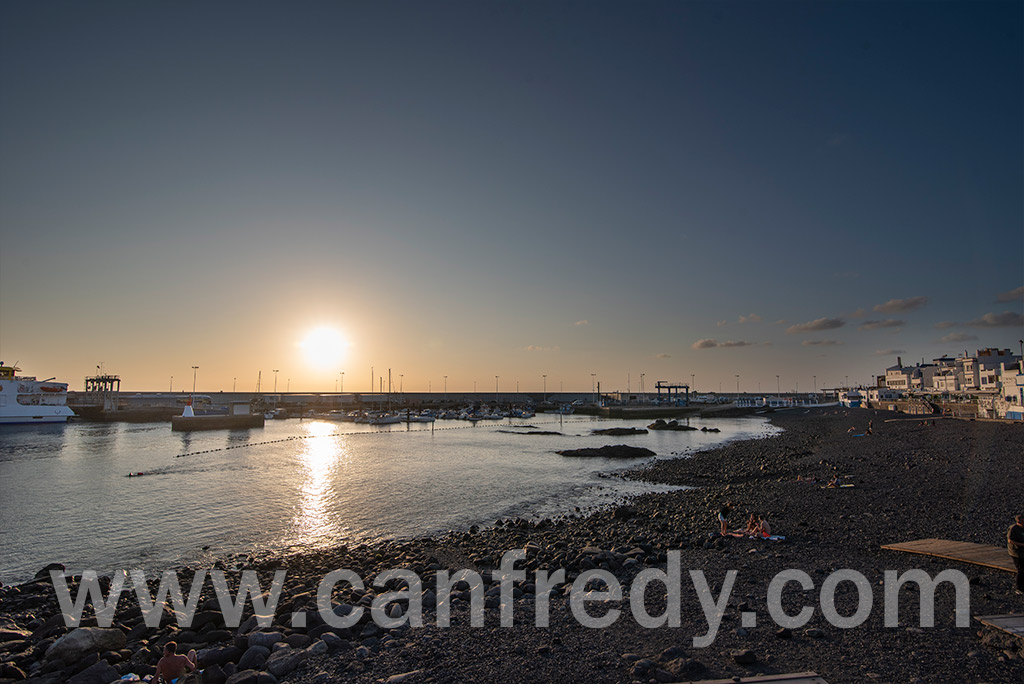
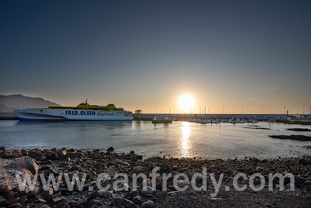
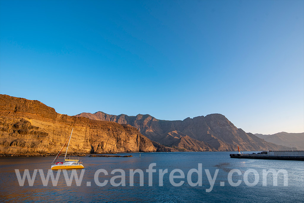
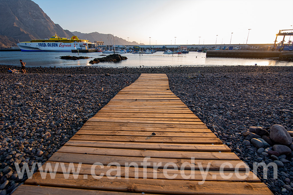
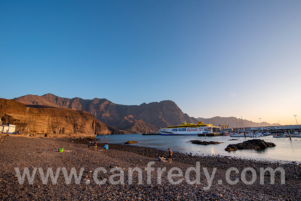
The port of Agaete, Puerto de las Nieves, used to be the preferred place to get a view of El Dedo de Dios, a natural monument on the coastline, before the latter was destroyed during tropical storm Delta in November 2005. The port is a common end point for day tours from more touristic areas of the island.
Archaeology..
El Maipes necropolis is on the outskirts of the town, in the south-east near the football ground.
USEFUL INFORMATION
- General information about Agaete (download pdf)
- Street Map Agaete (download pdf)
- Rural Roads Agaete (download pdf)
- Turistic guide Agaete (download pdf)
- Huerto de Las Flores (download pdf)
- Walking trails Agaete (download pdf)
- Area: 45.50 km2 sq. meters
- Population: 5.796 peoples
Puerto de Las Nieves
